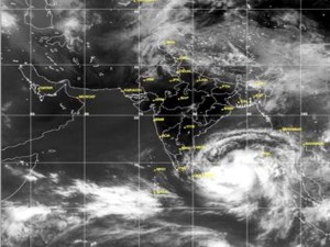
 The low-pressure area over Southeast Bay of Bengal has undergone intensification twice last night to become a deep depression, just a spin away from being a tropical cyclone, the Hindu newspaper reported today.
When declared one, it would be named ‘Mahasen’ (contributed by Sri Lanka) as per World Meteorology Organisation protocol.
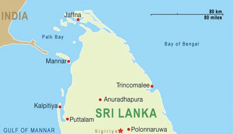
The deep depression lay 360 km southwest of Car Nicobar, 1,110 km east-southeast of Trincomalee (Sri Lanka); 1,400 km southeast of Chennai; and 1,750 km south of Chittagong (Bangladesh) this morning.
The system could intensify by two more levels to become a very severe cyclonic storm, according to latest available forecasts.
This is expected to happen by Tuesday, as per forecasts.
The very severe cyclone is the farthest it can grow before being declared a class-topping ‘Category-5’ storm, or a super cyclone. But intensification to this level is not currently being forecast.
According to a US Navy projection, the storm could move close in towards Andhra Pradesh-Odisha coasts, before re-curving on its path and heading into Myanmar-Bangladesh coast.
The landfall is expected to take as late as Wednesday, allowing the storm enough staying power in the hot Bay of Bengal waters, helping it to fuel itself and gain in strength.
Source: Colombo Gazette (Sri Lanka)


